Here is what you can expect as a Pro user:
Each project detail page has a mini map which shows its location, nearby infrastructure, landownership and nearby emitters, as shown in the screenshot below. Additionally, we add shapes such as the Area Of Review, or the stabilized CO2 plume if they are publicly available.
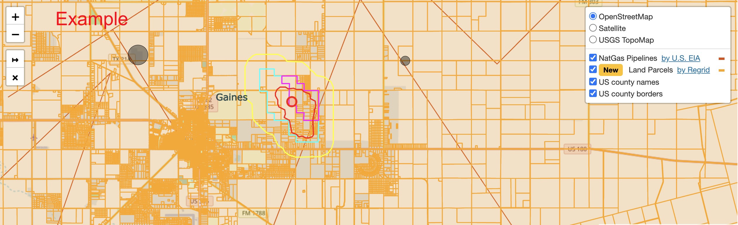
Figure: Screenshot of a project detail map, which shows some of the shapes that we digitize and add for a quick overview.
Planned Class VI projects usually have less official information available, since there is no official application, yet. However, we can work with press releases, news, official agreements and other proprietary sources to determine key data about a project. Our users are frequently the first to know about a project and where it is located.

Figure: Screenshot of a planned Class VI project detail page.