Spatial data for your success in Carbon Sequestration
To effectively study carbon sequestration, a multi-dimensional approach is crucial. Each location has unique challenges and advantages, like nearby infrastructure or land ownership. It's important to examine public hearings and monitoring approaches by different companies. Our spatial database provides solutions for these factors.

Speed up your CCUS project
Find Wells
We'll find the wells from various sources, so you can access our database and focus on your essential task: Your Class VI application.
Full Text Search
We provide full text search for EPA Class VI application documents, scanning and offering them to our premium users.
Access Key Data
Through the mapping interface you can find projects in the same area and compare their approach to injection rate, midstream commitments, etc.
Get Updates
Partner with us to stay updated effortlessly and become the most in-the-know person with an update email for you with major announcements.

All Class VI and Class II data in one place
The diagram shows an outline of the structured information that can be accessed. Not all projects will have all the information, but we try to be comprehensive and extract what is available from official documents and announcements.
Tutorial videos
Get to know us better by watching a brief tutorial!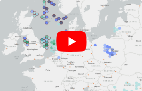
How to search documents
A brief tutorial on searching across a collection of Class VI documents.

Find Core Analysis documentation
Shows how to find Core Analysis data across a collection of PDF documents.

Add ccusmap data to ArcGIS Online
Here we show how to connect our API to your ArcGIS project.

How you can access news
News are a big part of the app. See what you can expect and where to find it.
How to measure distances
Our maps allow you to measure distances for studying projects in their local context.